
Understanding a cadastral survey document is important if you’re buying land, building, or verifying boundaries. At first glance these plans can look technical, but once you know what the key parts mean, they become much easier to read.
Below is a practical guide to help you interpret a typical cadastral survey.
1. Identify the Property Boundaries
The first thing to locate on a survey plan is the boundary of the land parcel.
Look for:
- Bold boundary lines marking the property edges
- Lot number or parcel number identifying the land
- Neighboring parcels around the property
These lines define the legal limits of the property. Everything inside them belongs to the land parcel being described.
2. Understand Bearings and Distances
Each boundary line usually has two pieces of information: distance and bearing. Distance shows the length of that boundary segment. for example: 35.60 m. Bearing describes the direction of the line relative to north. For example: N 45°30' E. Together they define the exact shape of the land parcel.
3. Locate Survey Monuments or Boundary Markers
The corners of the property are often marked with survey monuments. Common symbols on survey plans include: Iron rods or pins, Concrete monuments and Survey pegs. These markers physically show where the legal boundary corners are located on the ground.
4. Review Coordinates and Reference Points
Modern survey plans often include coordinates tied to national mapping systems. You may see: Easting and Northing values, grid references, and control points. These allow surveyors to locate the property precisely using GPS or total station equipment. Also look for the north arrow, which shows orientation.
5. Check the Area of the Land
Every cadastral plan will show the total area of the property. This may be expressed in: square meters, hectares, square feet, or acres. The area helps confirm that the parcel matches the legal description in the title or deed.
6. Identify Easements and Rights-of-Way
Some survey plans show areas that others are allowed to use. These may include: road access rights-of-way, utility easements, and drainage corridors. These areas may restrict how you can build or develop the land.
7. Read the Surveyor’s Certification
A legitimate cadastral survey includes a professional certification. Look for: the surveyor’s name and license number, signature and seal, and date of the survey. This confirms that the plan was prepared by a qualified survey professional and can be used for legal or planning purposes.
Practical Tips When Reviewing a Survey Plan
When examining a cadastral document, always verify:
✔ property boundaries match what you expect
✔ lot size matches your deed or title
✔ no structures cross the boundary
✔ easements do not restrict planned construction
✔ survey certification is present
If anything appears unclear, a surveyor can explain the document and even locate the boundary markers on the ground.
💡 Important insight
A cadastral survey is not just a drawing—it is a legal document defining property ownership and boundaries. Understanding it helps prevent disputes, guide construction, and ensure you fully understand the land you are buying or developing.
MORE ARTICLES
-
Three Surveying Mistakes That Regularly Cause Project Delays

If you’re building or developing property, there are three surveying mistakes that regularly cause project delays. They happen more often than people think—and fixing them late can cost serious time and money. 1. Skipping a Proper Topographic Survey A topographic survey maps the land’s actual shape: elevation levels, slopes, drains and waterways, and existing structures,…
-
Five Most Common Properties Surveyors See
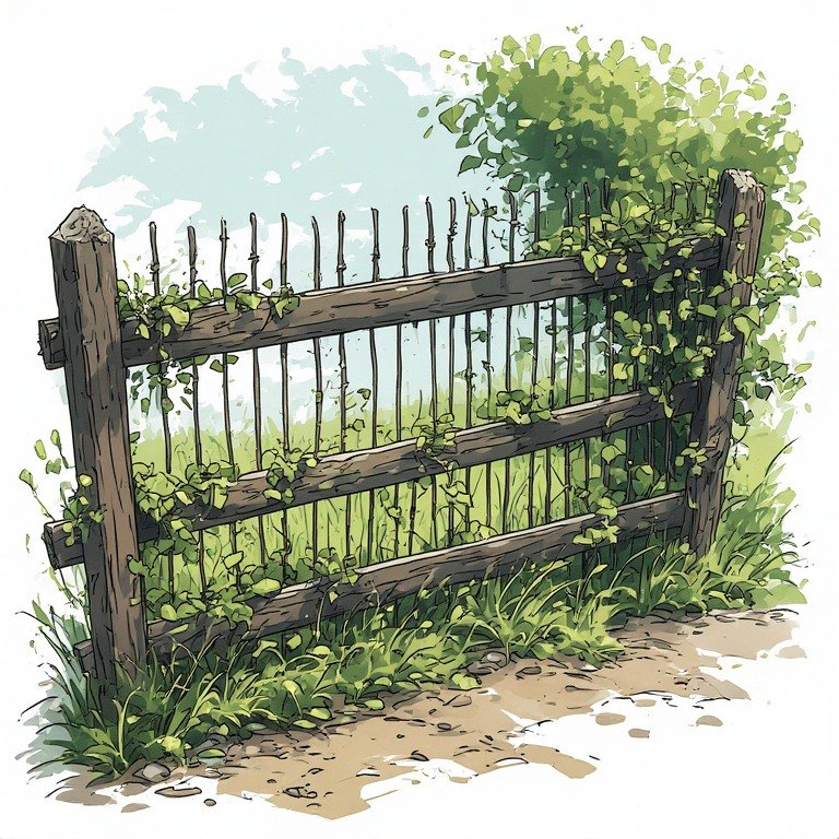
Property disputes are incredibly common, and most of them come from simple misunderstandings about boundaries or land use. Surveyors see the same problems over and over. If you know what they are, you can avoid them early. 1. Fence Built on the Wrong Boundary This is probably the most common dispute. People often assume: the…
-
Can Surveying Services Help Prevent Property Disputes?

Yes — professional surveying is one of the most effective ways to prevent property disputes.Most boundary conflicts happen because people rely on assumptions, old fences, or incorrect plans instead of verified survey data. A proper survey establishes exact legal boundaries, which protects both property owners and developers 1. Clearly Defines Legal Property Boundaries A cadastral…
-
What Are the Costs Involved in Cadastral and High-Definition Surveying?
Cadastral surveying and high-definition (HD) surveying serve different purposes, so the cost structure is very different. One focuses on legal boundaries, while the other focuses on high-precision digital models of land or buildings. I’ll break down what typically drives the cost so you understand what you’re really paying for. 1. Cadastral Surveying (Legal Property Boundaries)…
-
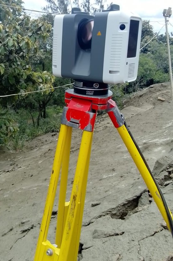
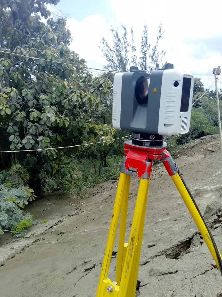
Is 3D Modeling Worth the Investment? Benefits of 3D Laser Scanning for Developers
For developers and builders, 3D laser scanning and modeling can be extremely valuable—but only when used in the right situations. If you’re building something simple on empty land, it may be overkill. But for renovations, tight urban sites, or complex structures, it can save a lot of money and mistakes. Let’s break it down clearly.…