
Understanding a cadastral survey document is important if you’re buying land, building, or verifying boundaries. At first glance these plans can look technical, but once you know what the key parts mean, they become much easier to read.
Below is a practical guide to help you interpret a typical cadastral survey.
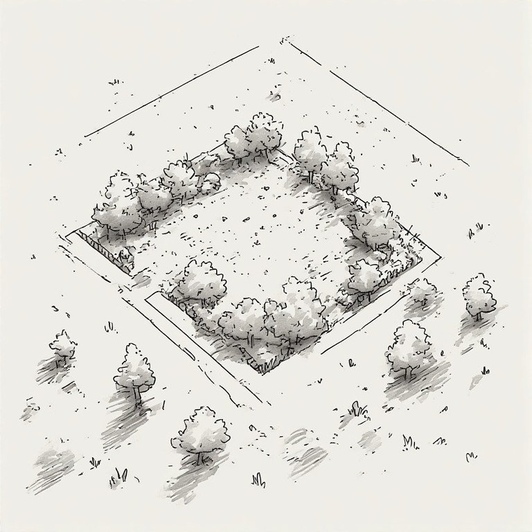
1. Identify the Property Boundaries
The first thing to locate on a survey plan is the boundary of the land parcel.
Look for:
- Bold boundary lines marking the property edges
- Lot number or parcel number identifying the land
- Neighboring parcels around the property
These lines define the legal limits of the property. Everything inside them belongs to the land parcel being described.
2. Understand Bearings and Distances
Each boundary line usually has two pieces of information: distance and bearing. Distance shows the length of that boundary segment. for example: 35.60 m. Bearing describes the direction of the line relative to north. For example: N 45°30' E. Together they define the exact shape of the land parcel.
3. Locate Survey Monuments or Boundary Markers
The corners of the property are often marked with survey monuments. Common symbols on survey plans include: Iron rods or pins, Concrete monuments and Survey pegs. These markers physically show where the legal boundary corners are located on the ground.
4. Review Coordinates and Reference Points
Modern survey plans often include coordinates tied to national mapping systems. You may see: Easting and Northing values, grid references, and control points. These allow surveyors to locate the property precisely using GPS or total station equipment. Also look for the north arrow, which shows orientation.
5. Check the Area of the Land
Every cadastral plan will show the total area of the property. This may be expressed in: square meters, hectares, square feet, or acres. The area helps confirm that the parcel matches the legal description in the title or deed.
6. Identify Easements and Rights-of-Way
Some survey plans show areas that others are allowed to use. These may include: road access rights-of-way, utility easements, and drainage corridors. These areas may restrict how you can build or develop the land.
7. Read the Surveyor’s Certification
A legitimate cadastral survey includes a professional certification. Look for: the surveyor’s name and license number, signature and seal, and date of the survey. This confirms that the plan was prepared by a qualified survey professional and can be used for legal or planning purposes.
Practical Tips When Reviewing a Survey Plan
When examining a cadastral document, always verify:
✔ property boundaries match what you expect
✔ lot size matches your deed or title
✔ no structures cross the boundary
✔ easements do not restrict planned construction
✔ survey certification is present
If anything appears unclear, a surveyor can explain the document and even locate the boundary markers on the ground.
💡 Important insight
A cadastral survey is not just a drawing—it is a legal document defining property ownership and boundaries. Understanding it helps prevent disputes, guide construction, and ensure you fully understand the land you are buying or developing.
MORE ARTICLES
-
Approval Process Before Construction in TT

If you’re planning to build in Trinidad and Tobago, understanding the approval process before construction begins is extremely important. Many projects get delayed because owners start designing or building before completing the necessary steps. Below is the typical step-by-step process from buying land to getting permission to build. 1. Verify Ownership and Land Title Before…
-
Five Hidden Issues That Can Prevent Approval from Town and Country Planning
Many landowners in Trinidad believe that once they own a parcel of land, they can immediately start building. In reality, several hidden issues can prevent you from getting approval from the Town and Country Planning Division or other authorities. Knowing these problems early can save months of delays and significant expense. 1. No Legal Road…
-
Building Regulations in Trinidad and Tobago
Building in Trinidad and Tobago is regulated mainly through planning approvals, zoning rules, building codes, and environmental regulations. Before constructing a house or commercial building, approvals are usually required from agencies such as the Town and Country Planning Division (TCPD) and sometimes the Environmental Management Authority (EMA). Below are the most common restrictions you should…
-
Key Components Every Land Purchaser Should Understand About a Cadastral Survey

Understanding a cadastral survey document is important if you’re buying land, building, or verifying boundaries. At first glance these plans can look technical, but once you know what the key parts mean, they become much easier to read. Below is a practical guide to help you interpret a typical cadastral survey. 1. Identify the Property…
-
How Can The Same Piece Of Land Have Two Different Boundary Positions
Two professional surveyors can measure the same piece of land and still produce slightly different boundary positions, even when both are technically correct. That surprises many property owners, but it happens because surveying is not just measurement—it is also legal interpretation of historical evidence. Here are the main reasons. 1. Old Surveys Were Not As…