Two professional surveyors can measure the same piece of land and still produce slightly different boundary positions, even when both are technically correct. That surprises many property owners, but it happens because surveying is not just measurement—it is also legal interpretation of historical evidence.
Here are the main reasons.
1. Old Surveys Were Not As Precise
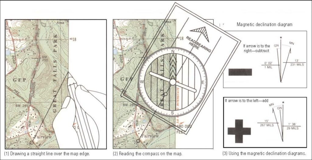
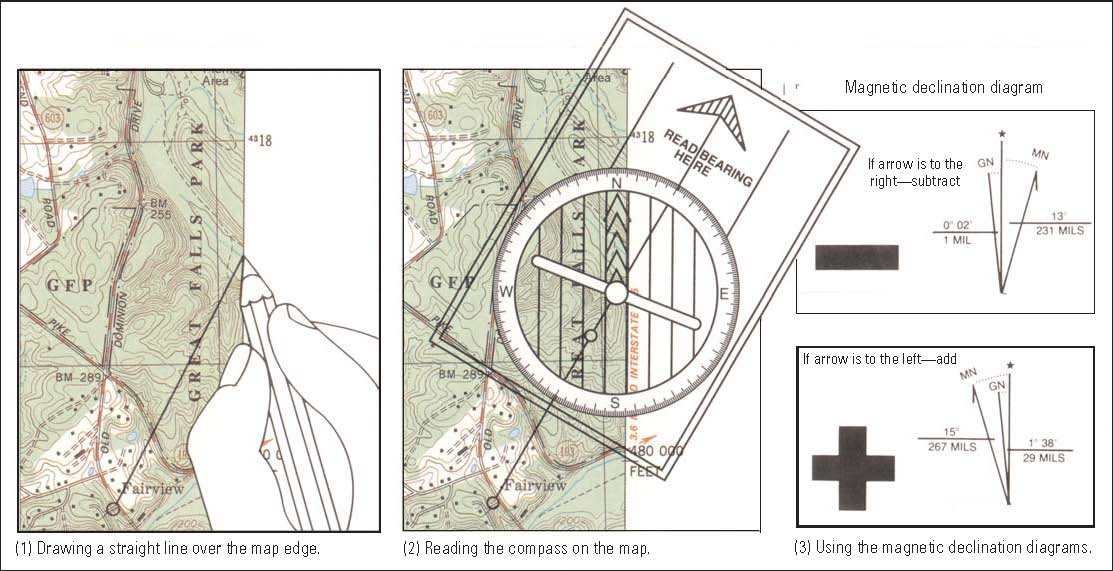
Many property boundaries were originally measured decades or even centuries ago using simple tools such as: chains, compasses and measuring tapes. These surveys may contain small errors or missing details. Modern equipment can measure with millimeter precision, but surveyors must still respect the original legal boundary descriptions in the deed or title. So the challenge becomes: What did the original surveyor actually intend?
2. Boundary Markers May Be Missing.
Property corners are often marked with iron rods, concrete monuments or brass markers. Over time these can: get buried, be removed , during construction, be destroyed by landscaping, or be intentionally moved. If markers are missing, surveyors must reconstruct the boundary using surrounding evidence, which can lead to slight interpretation differences.
3. Deed Descriptions May Be Ambiguous
Some property descriptions in deeds are surprisingly vague. Examples of old descriptions include phrases like: “from the large mango tree”, “along the stone wall”, and “following the stream to the north corner”. But decades later: the tree is gone, the wall collapsed, and the stream changed course. Surveyors must interpret these descriptions using best professional judgment.
4. Different Weight Given to Evidence
Surveyors consider several types of evidence: original survey monuments, historical plans, deed descriptions, occupation lines (fences, walls). and neighboring surveys. Two surveyors may give different priority to certain evidence when reconstructing the boundary; for example: one may rely more on a historic fence line, and another may rely more on recorded coordinates. Both approaches can be valid.
Important Insight
Modern equipment is extremely precise. But land boundaries are legal concepts, not just mathematical lines. Surveyors must balance: historical records, physical evidence, legal principles, and modern measurements. That’s why professional judgment is part of the profession.
💡 Practical lesson
If two survey plans differ slightly, it does not necessarily mean one surveyor is wrong. Often it means the boundary had uncertain historical evidence, and each surveyor reconstructed it using the best available information. Courts typically resolve these situations by considering all available evidence.
MORE ARTICLES
-

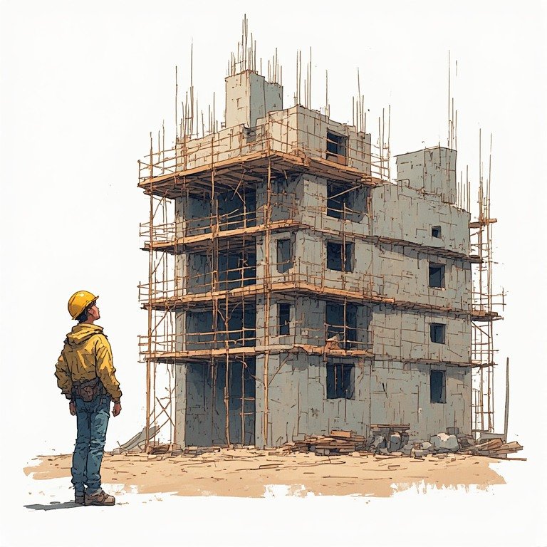
Approval Process Before Construction in TT
If you’re planning to build in Trinidad and Tobago, understanding the approval process before construction begins is extremely important. Many projects get delayed because owners start designing or building before completing the necessary steps. Below is the typical step-by-step process from buying land to getting permission to build. 1. Verify Ownership and Land Title Before…
-
Five Hidden Issues That Can Prevent Approval from Town and Country Planning
Many landowners in Trinidad believe that once they own a parcel of land, they can immediately start building. In reality, several hidden issues can prevent you from getting approval from the Town and Country Planning Division or other authorities. Knowing these problems early can save months of delays and significant expense. 1. No Legal Road…
-
Building Regulations in Trinidad and Tobago
Building in Trinidad and Tobago is regulated mainly through planning approvals, zoning rules, building codes, and environmental regulations. Before constructing a house or commercial building, approvals are usually required from agencies such as the Town and Country Planning Division (TCPD) and sometimes the Environmental Management Authority (EMA). Below are the most common restrictions you should…