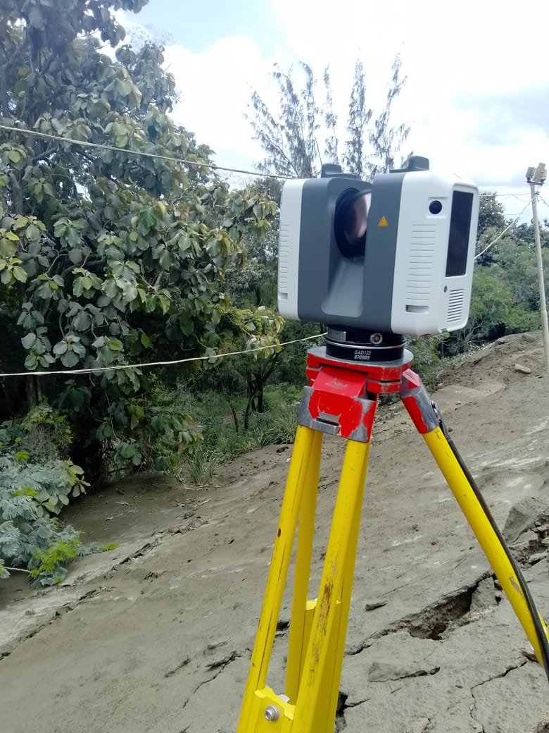
Property disputes are incredibly common, and most of them come from simple misunderstandings about boundaries or land use. Surveyors see the same problems over and over. If you know what they are, you can avoid them early.
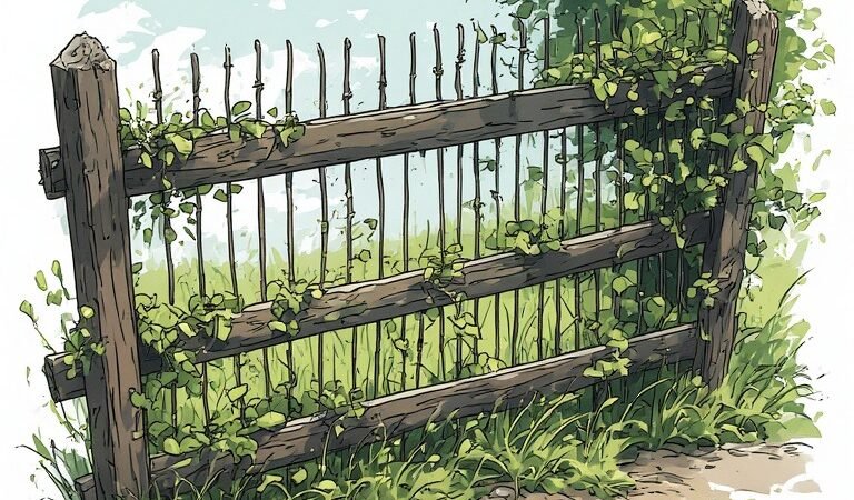
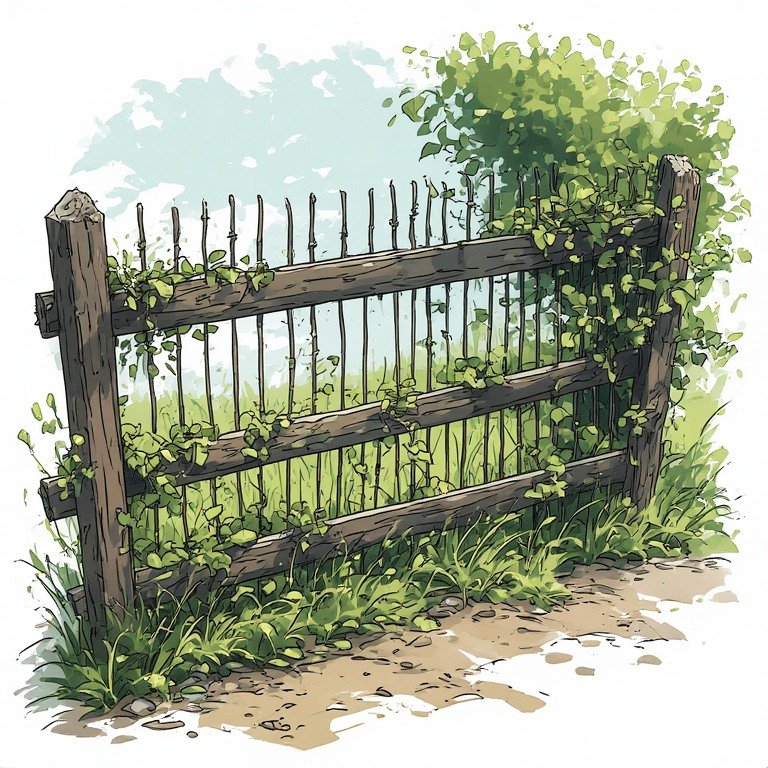
1. Fence Built on the Wrong Boundary
This is probably the most common dispute. People often assume: the existing fence is the true boundary, or the previous owner placed it correctly, But fences are frequently installed several feet off the actual line, moved over time,or built for convenience rather than accuracy. A survey often reveals the fence is partially on the neighbor’s property. That leads to arguments about whether it must be moved, removed, or compensated for.
2. Building Encroachments

This happens when a structure crosses the boundary line. Examples: house extension, garage, retaining wall, driveway and septic system. Sometimes the encroachment is only a few inches, but legally it can still be a major problem. If discovered later, the owner may be forced to: modify the structure, negotiate an easement, or compensate the neighbor
3. Missing or Moved Boundary Markers
Boundary markers (iron rods, concrete monuments, or pegs) define the legal corners of a property. Over time they may be: buried, removed during construction, destroyed by landscaping, or intentionally moved. Once the markers disappear, neighbors start guessing where the line is. That’s when conflicts start.
4. Right-of-Way and Access Disputes

Many properties have legal rights-of-way or easements. Examples: shared driveway access, utility lines, drainage channels, and road access across neighboring land. Disputes happen when: a neighbor blocks access, someone builds across an easement, boundaries and easements are confused. A survey plan shows exact easement locations, clarifying who can use what.
5. Tree and Landscaping Conflicts
Trees cause surprising legal battles. Common arguments include: branches hanging into the neighbor’s yard; roots damaging fences or walls, or trees growing directly on the boundary line. Ownership of the tree often depends on where the trunk sits relative to the boundary. Without a survey, people argue based on assumptions.
The Real Lesson
Almost every property dispute comes from one root problem: People rely on memory, fences, or guesswork instead of measured boundaries. A proper survey removes that uncertainty.
💡 Practical advice for property owners and developers. Before doing any of these, it’s smart to confirm your boundaries when building a house, installing a fence or wall, planting large trees, constructing driveways or drains, or buying land. The cost of a survey is usually tiny compared to legal fees and neighbor conflicts.
MORE ARTICLES
-
Three Surveying Mistakes That Regularly Cause Project Delays

If you’re building or developing property, there are three surveying mistakes that regularly cause project delays. They happen more often than people think—and fixing them late can cost serious time and money. 1. Skipping a Proper Topographic Survey A topographic survey maps the land’s actual shape: elevation levels, slopes, drains and waterways, and existing structures,…
-
Five Most Common Properties Surveyors See
Property disputes are incredibly common, and most of them come from simple misunderstandings about boundaries or land use. Surveyors see the same problems over and over. If you know what they are, you can avoid them early. 1. Fence Built on the Wrong Boundary This is probably the most common dispute. People often assume: the…
-
Can Surveying Services Help Prevent Property Disputes?
Yes — professional surveying is one of the most effective ways to prevent property disputes.Most boundary conflicts happen because people rely on assumptions, old fences, or incorrect plans instead of verified survey data. A proper survey establishes exact legal boundaries, which protects both property owners and developers 1. Clearly Defines Legal Property Boundaries A cadastral…
-
What Are the Costs Involved in Cadastral and High-Definition Surveying?
Cadastral surveying and high-definition (HD) surveying serve different purposes, so the cost structure is very different. One focuses on legal boundaries, while the other focuses on high-precision digital models of land or buildings. I’ll break down what typically drives the cost so you understand what you’re really paying for. 1. Cadastral Surveying (Legal Property Boundaries)…
-
Is 3D Modeling Worth the Investment? Benefits of 3D Laser Scanning for Developers
For developers and builders, 3D laser scanning and modeling can be extremely valuable—but only when used in the right situations. If you’re building something simple on empty land, it may be overkill. But for renovations, tight urban sites, or complex structures, it can save a lot of money and mistakes. Let’s break it down clearly.…