Yes — professional surveying is one of the most effective ways to prevent property disputes.
Most boundary conflicts happen because people rely on assumptions, old fences, or incorrect plans instead of verified survey data.
A proper survey establishes exact legal boundaries, which protects both property owners and developers
1. Clearly Defines Legal Property Boundaries
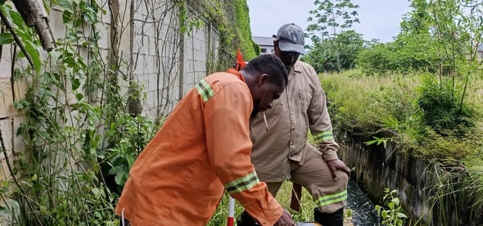
A cadastral survey identifies the precise legal limits of a property.
Surveyors:
- examine deeds and historical survey plans
- locate existing boundary monuments
- measure coordinates using precision equipment
- install or confirm boundary markers
Once completed, everyone knows exactly where the property line is.
This prevents disputes like:
- “Your fence is on my land.”
- “Your building crosses the boundary.”
- “You cut trees on my property.”
2. Prevents Encroachment Problem
Encroachment occurs when someone builds across a property boundary. Examples include: fences, driveways, walls, extensions and drainage systems. A survey allows builders to confirm setbacks and boundary limits before construction begins, avoiding expensive legal issues later.
3. Provides Legal Evidence in Case of Disputes
If disputes do arise, a licensed surveyor’s plan becomes legal evidence. Courts and land registries rely on: certified survey plans, coordinate data, and official boundary markers. This documentation helps resolve conflicts quickly and fairly.
4. Helps During Property Transactions
Before buying land, a survey can reveal issues such as: hidden encroachments, incorrect boundaries, missing boundary markers, and access or right-of-way conflicts. Identifying these early protects buyers from unexpected legal or financial problems.
Practical Example
Many property disputes happen because people assume:
- the old fence is the boundary
- the drain or road edge marks the property line
- the neighbor’s word is accurate
But over time, fences move, markers disappear, and memories fade. A professional survey replaces assumptions with verified measurements.
💡 Our Practical advice. Before doing any of the following, it’s wise to get a survey: building a house, installing a fence or wall, subdividing land, and buying or selling property. The cost of a survey is usually tiny compared to the legal costs of a boundary dispute.
MORE ARTICLES
-
Approval Process Before Construction in TT
If you’re planning to build in Trinidad and Tobago, understanding the approval process before construction begins is extremely important. Many projects get delayed because owners start designing or building before completing the necessary steps. Below is the typical step-by-step process from buying land to getting permission to build. 1. Verify Ownership and Land Title Before…
-
Five Hidden Issues That Can Prevent Approval from Town and Country Planning
Many landowners in Trinidad believe that once they own a parcel of land, they can immediately start building. In reality, several hidden issues can prevent you from getting approval from the Town and Country Planning Division or other authorities. Knowing these problems early can save months of delays and significant expense. 1. No Legal Road…