For developers and builders, 3D laser scanning and modeling can be extremely valuable—but only when used in the right situations. If you’re building something simple on empty land, it may be overkill. But for renovations, tight urban sites, or complex structures, it can save a lot of money and mistakes.
Let’s break it down clearly.
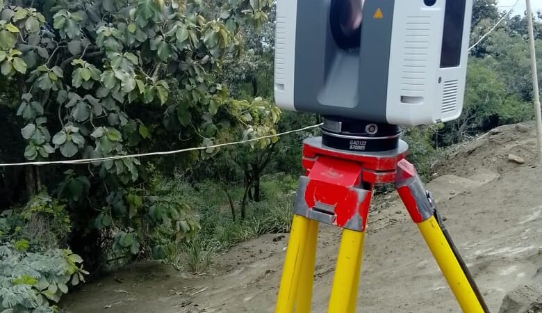
What 3D Laser Scanning Actually Is
A 3D laser scanner shoots millions of laser points and captures a “point cloud” of the building or site.
From that data, professionals create:
- 3D models
- BIM models
- accurate floor plans
- elevations and sections
Accuracy is usually 2–5 mm, far more precise than manual measurement.
Major Benefits for Developers
1. Prevents Costly Construction Errors
With a scan you can detect problems before construction begins.
Example issues caught early:
- pipe clashes
- beams intersecting walls
- ceiling height conflicts
- misaligned structural elements
Fixing these on the computer is cheap.
Fixing them on the job site is expensive.
A single avoided mistake can save tens of thousands of dollars.
2. Faster Renovation and Retrofit Projects
For existing buildings, traditional measurement takes days and still misses things.
Laser scanning captures:
- every wall
- uneven floors
- structural distortions
- pipe and wiring positions
Architects then design from the exact reality, not assumptions.
This is huge for:
- hotels
- office retrofits
- heritage buildings
- apartments
3. Speeds Up Design and Approval Workflows
Developers gain a digital twin of the site.
Benefits:
- easier design coordination
- quicker changes
- better contractor communication
- easier planning approvals
Teams can literally walk through the building in 3D before it exists.
Financial Reality: Is It Worth the Cost?
Typical costs vary widely depending on project size.
| Project | Typical Cost |
|---|---|
| Small building scan | $1,000 – $3,000 |
| Medium commercial building | $3,000 – $10,000 |
| Large development | $10,000+ |
But developers often recover the cost by:
- preventing rework
- reducing site visits
- speeding design time
- avoiding contractor disputes
One design error avoided can pay for the entire scan.
When It’s Worth It (And When It Isn’t)
Worth it
✔ Renovations
✔ Complex buildings
✔ Hotels or commercial projects
✔ Heritage restoration
✔ Tight urban sites
✔ Large developments
Not usually necessary
✖ Small houses on empty lots
✖ Simple rural construction
✖ Projects with straightforward geometry
A topographic survey + architectural drawings normally covers everything for such purposes.
💡 Practical developer insight:
The real value of laser scanning isn’t the technology—it’s certainty. It removes guesswork from construction.
And in building, guesswork is where money disappears.
MORE ARTICLES
-
Approval Process Before Construction in TT
If you’re planning to build in Trinidad and Tobago, understanding the approval process before construction begins is extremely important. Many projects get delayed because owners start designing or building before completing the necessary steps. Below is the typical step-by-step process from buying land to getting permission to build. 1. Verify Ownership and Land Title Before…
-
Five Hidden Issues That Can Prevent Approval from Town and Country Planning
Many landowners in Trinidad believe that once they own a parcel of land, they can immediately start building. In reality, several hidden issues can prevent you from getting approval from the Town and Country Planning Division or other authorities. Knowing these problems early can save months of delays and significant expense. 1. No Legal Road…