Our Services

A close-up of a surveying instrument, specifically a total station, mounted on a tripod. The instrument features an orange cylindrical target with a reflective surface and a black and yellow square backing with a cross pattern. The background is blurred, showing some cars and trees, suggesting an outdoor setting.
Precise cadastral land surveys tailored for Trinidad and Tobago’s unique terrain.
An aerial view of a landscape featuring a densely wooded area surrounded by a cemetery with visible tombstones arranged in neat rows. Beyond the cemetery, there is a construction site with several rectangular buildings with red roofs, and numerous vehicles and equipment. Adjacent to these, there are several green fields and patches of grass, with a few scattered trees. Roads with vehicles cut through the image, showing a mix of natural and urban environments.

Cutting-edge 3D laser scanning for accurate spatial data and modeling.

A concrete survey marker embedded in a larger stone, featuring a round metal disc with engraved text from the U.S. Coast and Geodetic Survey. The marker is surrounded by soil and foliage, with sunlight casting shadows.

Facilitate development porces for town and country planning drawings and applications.


Land Surveying

3D Laser Scanning

Capturing detailed 3D scans of buildings and terrain to support accurate planning and design.
A metal topographical indicator displaying various landmarks, distances, and heights is prominently in focus. The background reveals an out-of-focus rocky terrain and a blurred figure of a person, suggesting an outdoor, elevated setting.

Project Mapping

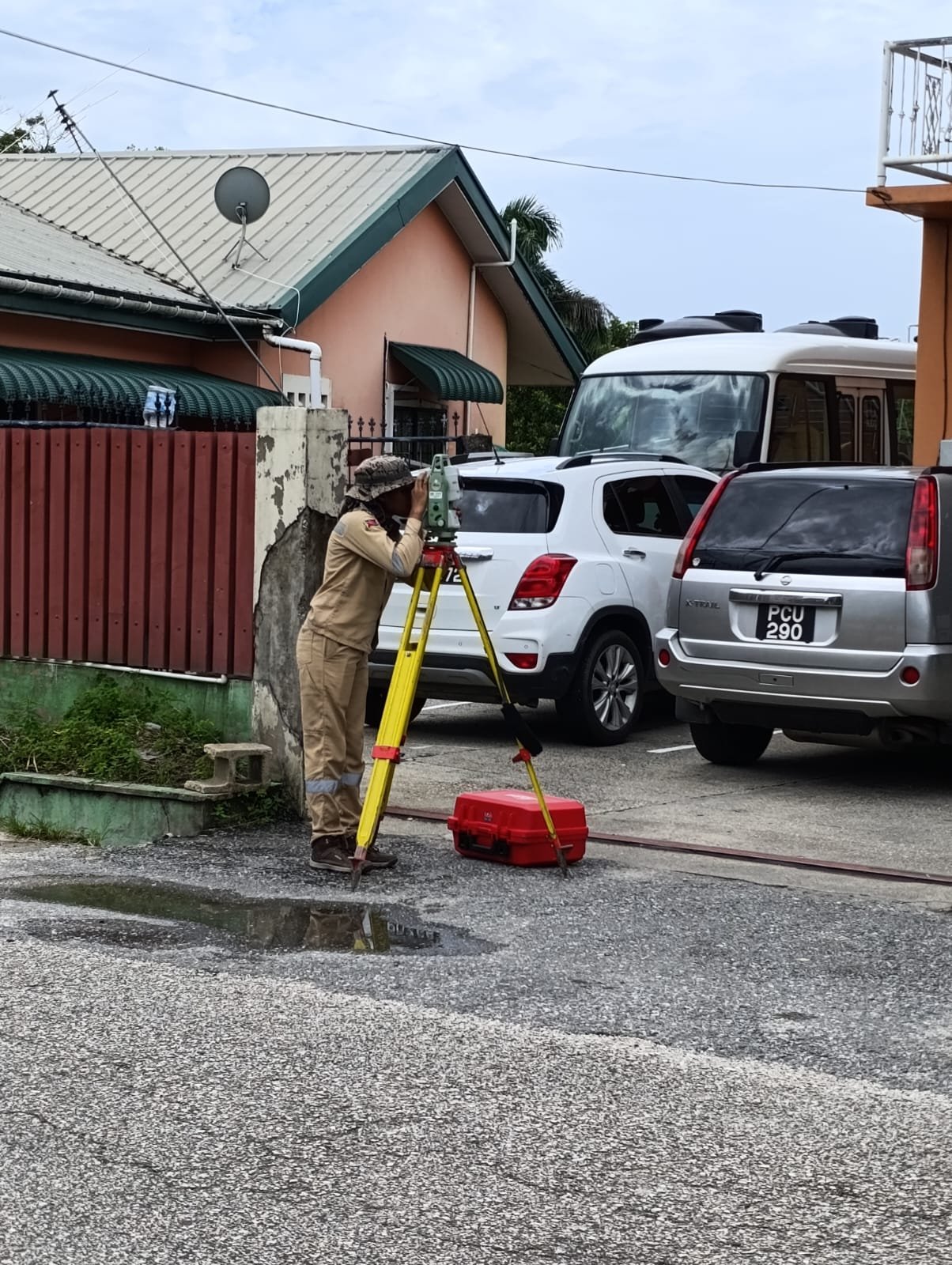
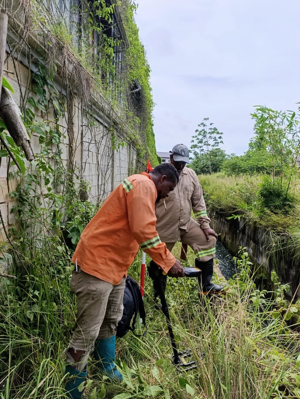
Creating precise maps for development projects across Trinidad and Tobago’s diverse landscapes.
A yellow and black tripod-mounted surveying instrument is positioned under a metal bridge by a riverbank. The bridge has rust-colored girders and shadows cast across a concrete wall. Lush greenery grows along the banks with patches of sunlight highlighting parts of the scene.

Consultancy Advice

Providing expert guidance to navigate land use regulations and optimize project outcomes.

Project Mapping

Dedicated assistance throughout every stage, ensuring smooth communication and timely delivery.

Our Reach

Serving all of Trinidad and Tobago

Address

LP#53A Oliver Trace, Champs Fleurs
Trinidad,
West Indies

Open

9am – 6pm