
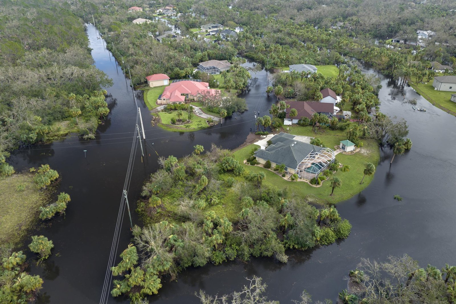
If you’re building or developing property, there are three surveying mistakes that regularly cause project delays. They happen more often than people think—and fixing them late can cost serious time and money.
1. Skipping a Proper Topographic Survey
A topographic survey maps the land’s actual shape: elevation levels, slopes, drains and waterways, and existing structures, trees and utilities. Many people assume a boundary survey alone is enough. It isn’t. Without topo data architects design buildings at the wrong elevation ; drainage problems appear during construction, and retaining walls or foundation changes become necessary. Those redesigns can delay a project weeks or even months.
2. Using Old or Inaccurate Survey Plans
Many property owners rely on old survey plans attached to deeds. But those plans may be: decades old, based on outdated measurement systems, missing boundary monuments, or inaccurate compared to modern GPS measurements. Land boundaries sometimes shift due to: road construction, subdivision changes, and missing corner markers Developers often discover the problem after construction starts, which is the worst time.
3. Not Verifying Setbacks Before Building
Local planning rules require buildings to sit a certain distance from property boundaries. These are called setbacks. Some examples of setbacks are: 5 feet from the side boundary; 10 feet from the road, and larger setbacks for commercial properties. If the building footprint is placed incorrectly: permits can be revoked; construction can be halted, and the structure may need to be modified. In extreme cases, part of a building may have to be demolished. A simple construction layout survey before building prevents this.
The Smart Development Sequence.
Professional developers usually follow this order:
- Boundary (cadastral) survey – confirm legal property lines
- Topographic survey – understand terrain and site conditions
- Design and planning approvals
- Construction layout survey – mark building positions on site
Following this sequence avoids most survey-related delays. Many construction problems blamed on architects or contractors actually start with poor site data. Good surveying gives the entire project a reliable foundation before the first block is laid.
MORE ARTICLES
-

Approval Process Before Construction in TT
If you’re planning to build in Trinidad and Tobago, understanding the approval process before construction begins is extremely important. Many projects get delayed because owners start designing or building before completing the necessary steps. Below is the typical step-by-step process from buying land to getting permission to build. 1. Verify Ownership and Land Title Before…
-
Five Hidden Issues That Can Prevent Approval from Town and Country Planning
Many landowners in Trinidad believe that once they own a parcel of land, they can immediately start building. In reality, several hidden issues can prevent you from getting approval from the Town and Country Planning Division or other authorities. Knowing these problems early can save months of delays and significant expense. 1. No Legal Road…
-
Building Regulations in Trinidad and Tobago
Building in Trinidad and Tobago is regulated mainly through planning approvals, zoning rules, building codes, and environmental regulations. Before constructing a house or commercial building, approvals are usually required from agencies such as the Town and Country Planning Division (TCPD) and sometimes the Environmental Management Authority (EMA). Below are the most common restrictions you should…